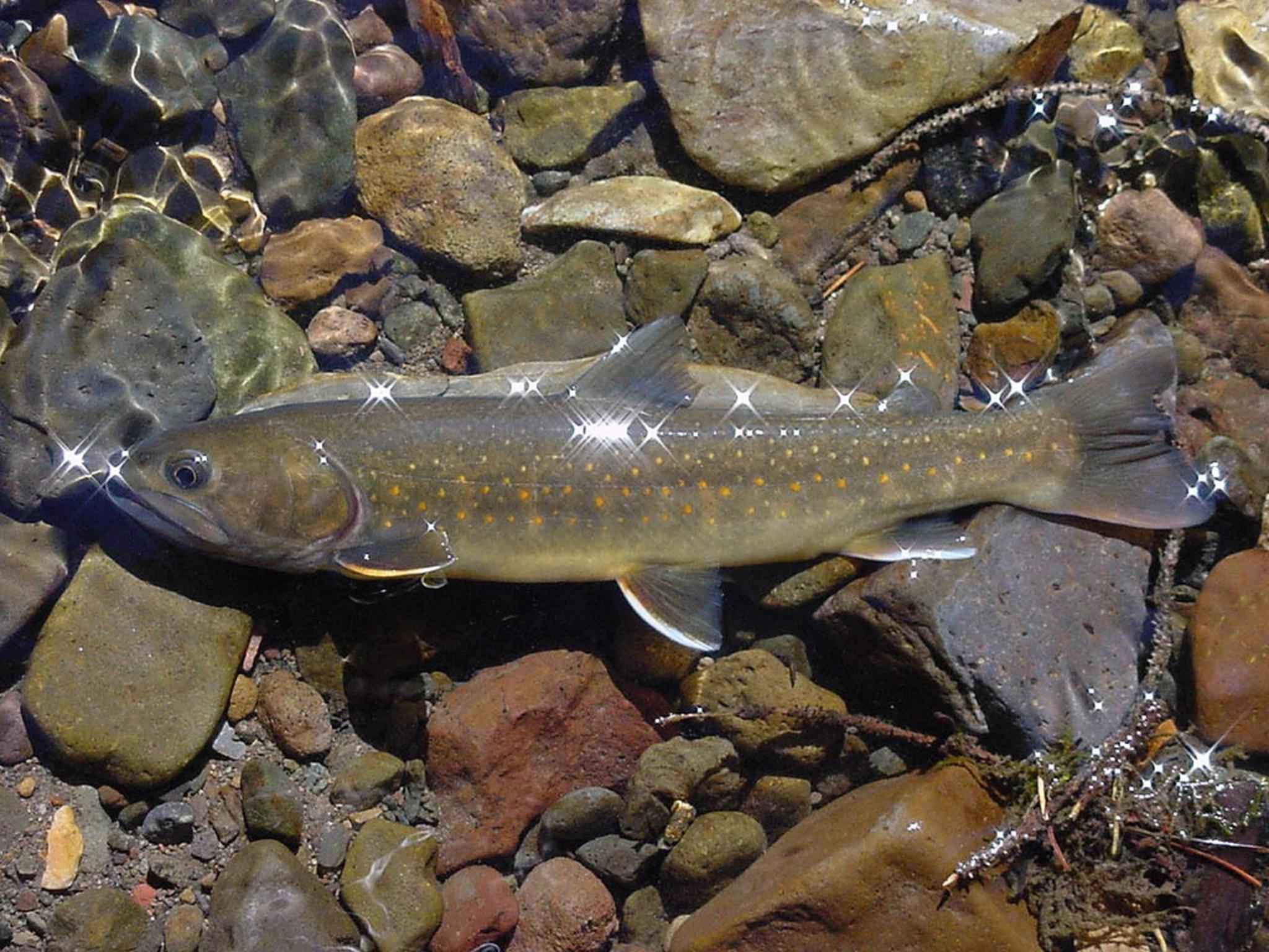
Starting Aug. 1 and continuing into the fall, Washington Department of Fish and Wildlife staff is using a series of drone flights to assess the effects of low water flows on bull trout movement and migration in Kittitas and Yakima counties. This work is particularly important this year as those counties are currently within a drought emergency.
Bull trout are listed as threatened under the federal Endangered Species Act. As the hot, dry summer progresses and water levels drop, conditions develop that create barriers to fish passage. The drone flights will alert biologists when they need to undertake fish rescue efforts due to these conditions.
Drone flights will take place over the lower reaches of tributary streams and follow those streams to U.S. Bureau of Reclamation reservoirs within the Yakima and Naches river basins. The flights will originate from lands managed by either the Bureau of Reclamation or the United States Forest Service and will take place two to three times per water body between now and the end of November. If there is a need to take measures to restore fish passage, additional flights could occur.
Specific flight dates have not been set as they will be conducted according to water level, weather, and site-specific conditions as the season progresses. Each flight mission will take approximately two to four hours to complete.
The images and video footage obtained by these flights will be used to create maps of each stream reach, documenting the progression of water loss through a series of images from an aerial perspective. This will help prioritize remediation efforts and be a visual tool for conveying the degree of water loss. The flights will be supplemented with ground surveys as well.
Drone flights will follow all FAA and WDFW policies and will be restricted to daylight hours, Monday through Friday.